The trail
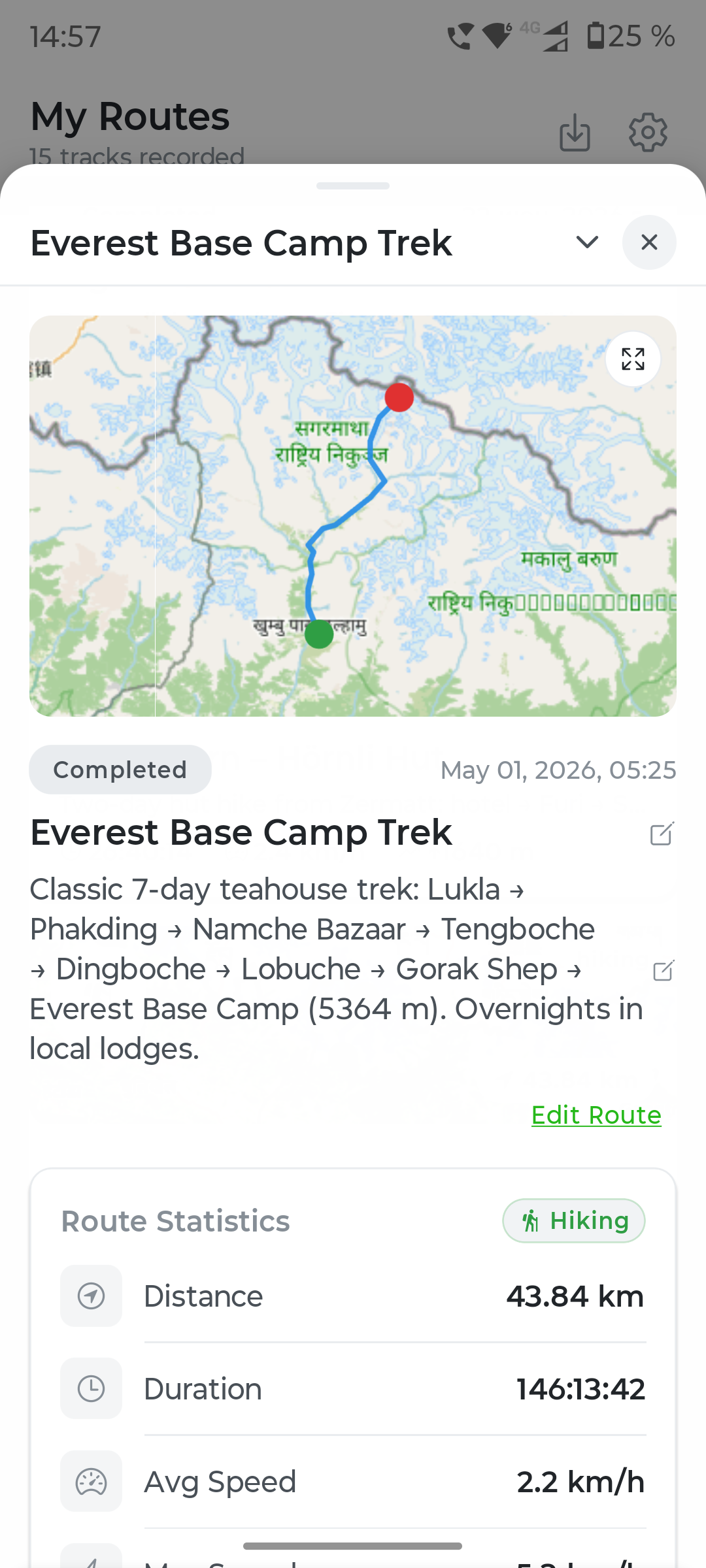
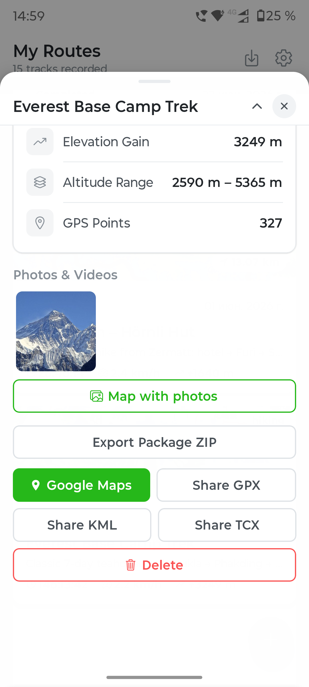
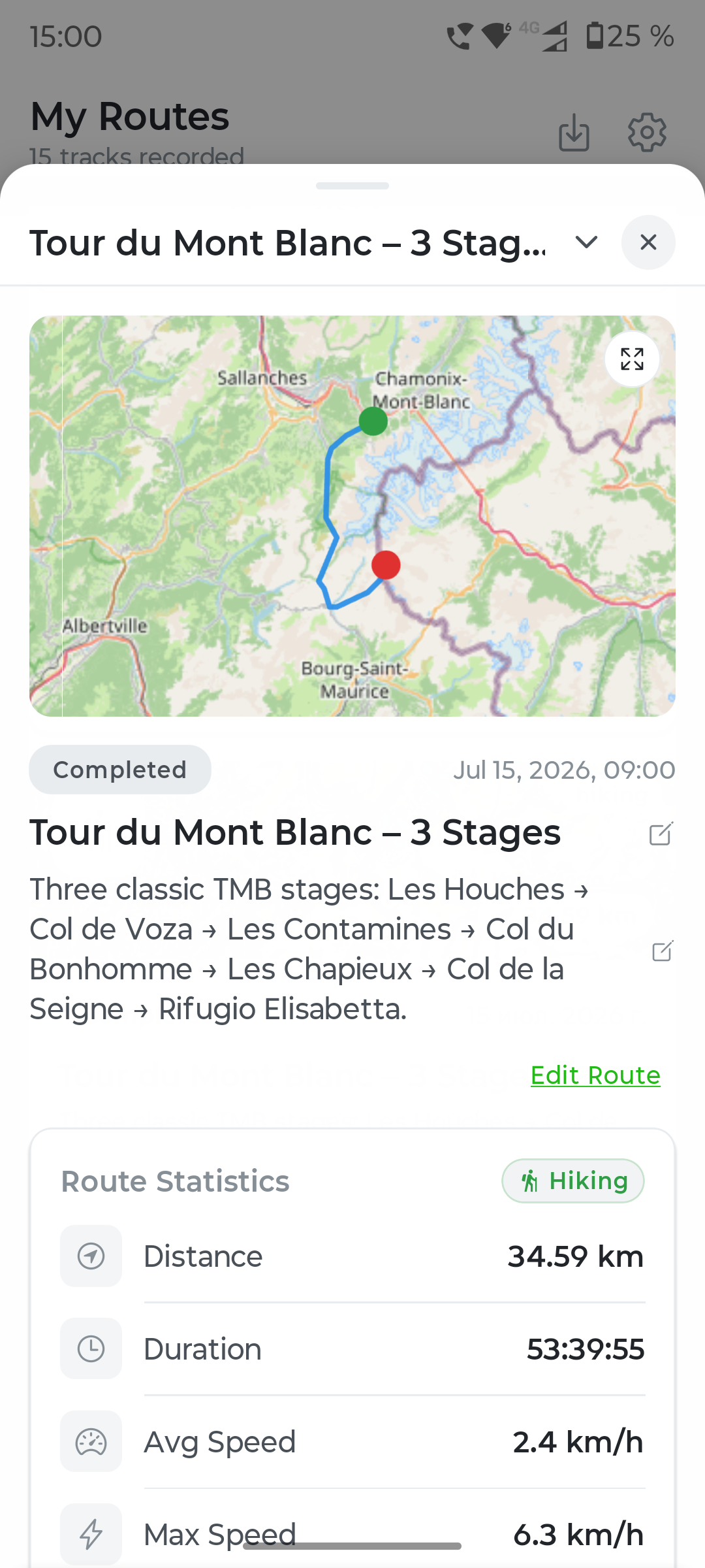
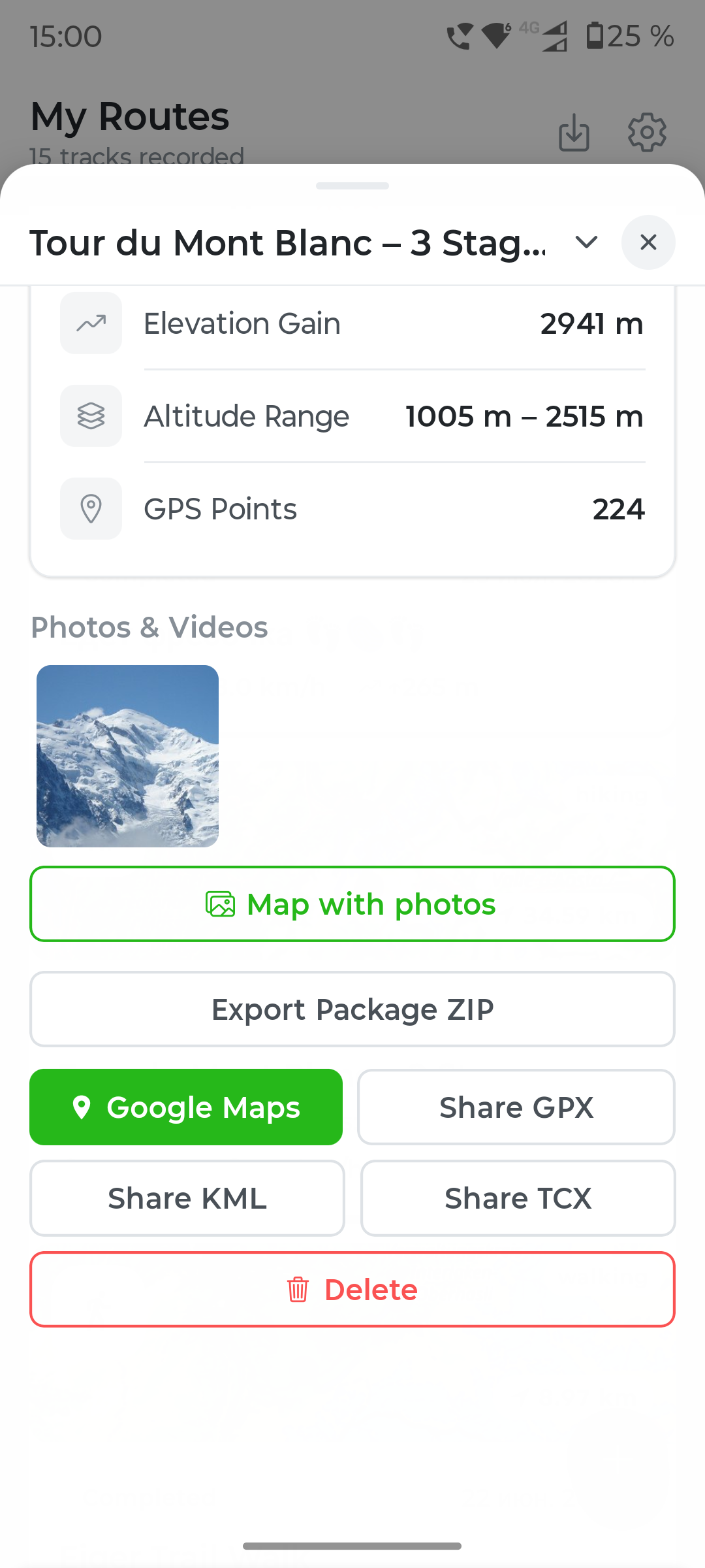
Ridgelines and multi-day circuits, recorded even with the screen off.
Travel journal · Trekking · City touring
Travel with meaning. Keep the memory. Capture the route and preserve the feeling of every place.
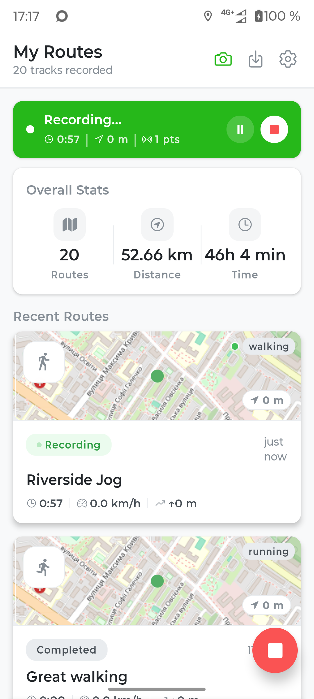
Mountains & cities
From alpine ridgelines to old-town streets — one app, two ways to explore.
Ridgelines and multi-day circuits, recorded even with the screen off.
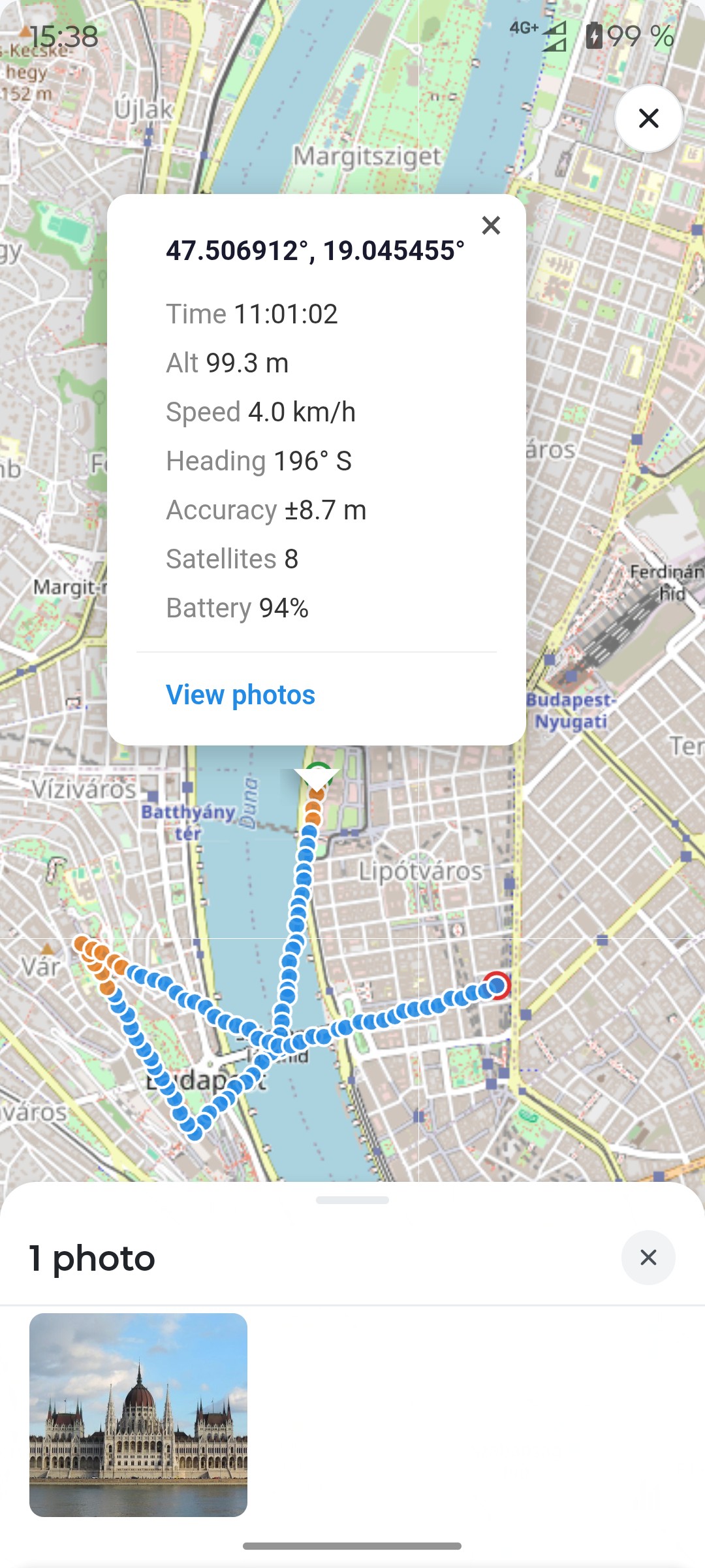
A day of wandering a capital, geotagged photo by photo.
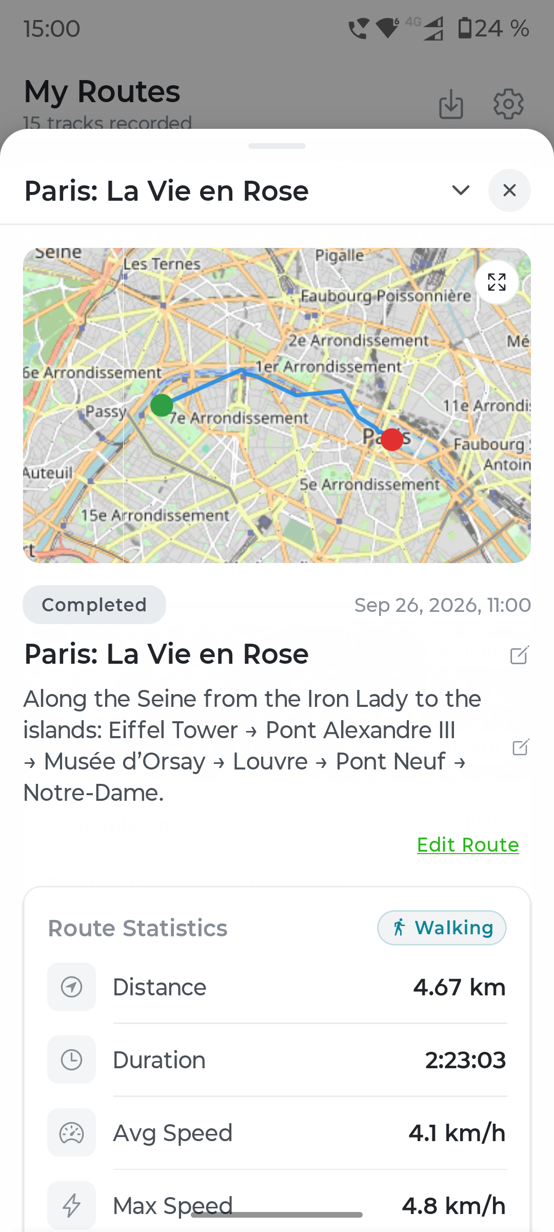
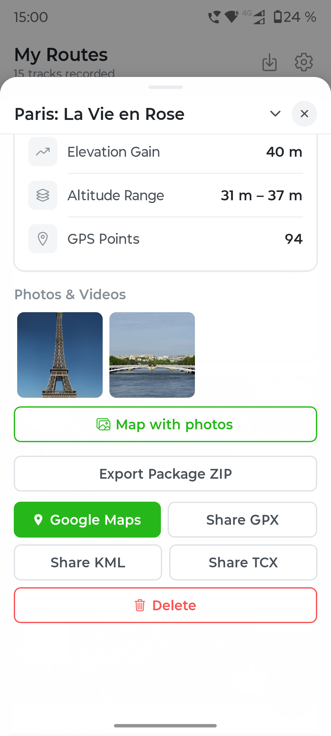
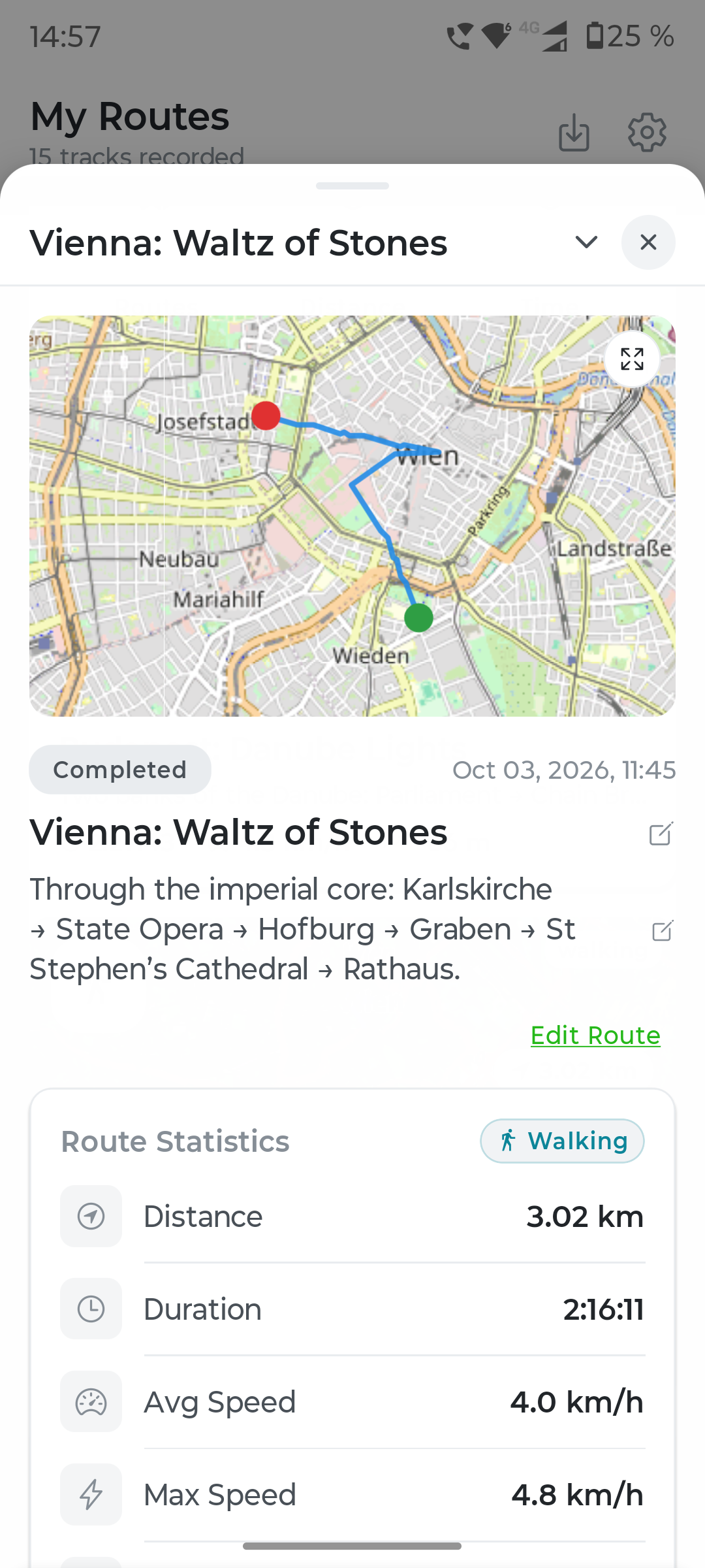
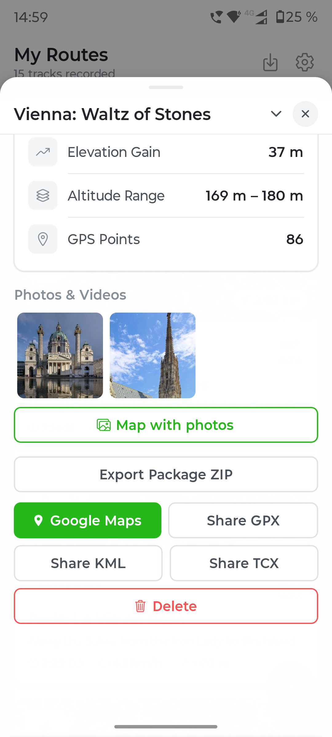
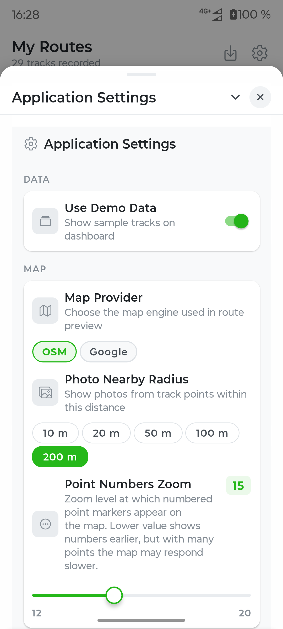
Nothing to record before you can explore. Switch on Use Demo Data — 11 real routes load instantly with photos attached, ready to try.
Built to be trusted
Works in the background with the screen off — and restarts itself if the system ever interrupts it, even across a reboot.
An interactive map with speed, elevation and gradient charts — synced together, always in step. Choose OpenStreetMap, Google Maps, MapTiler or Apple Maps. Google Maps and MapTiler each require their own API key in map settings.
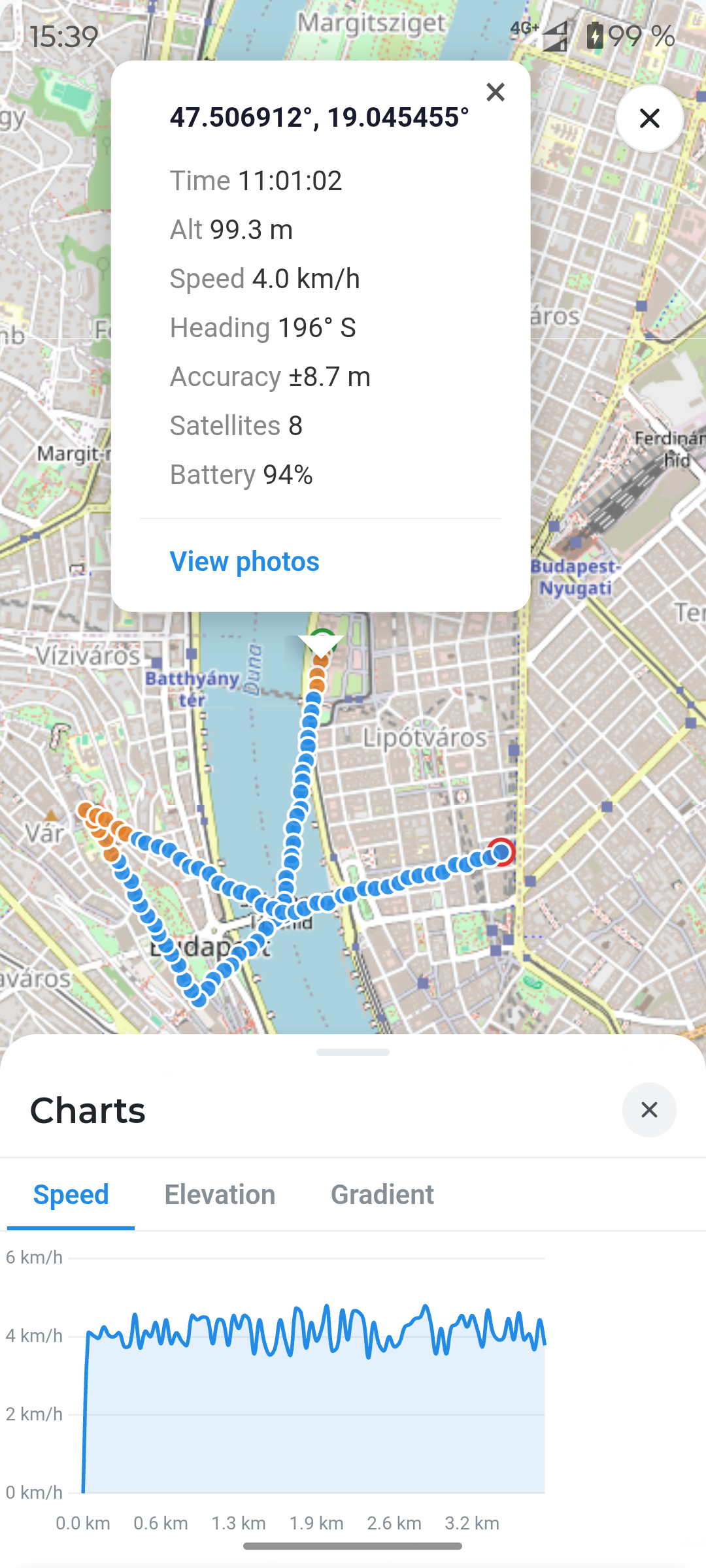
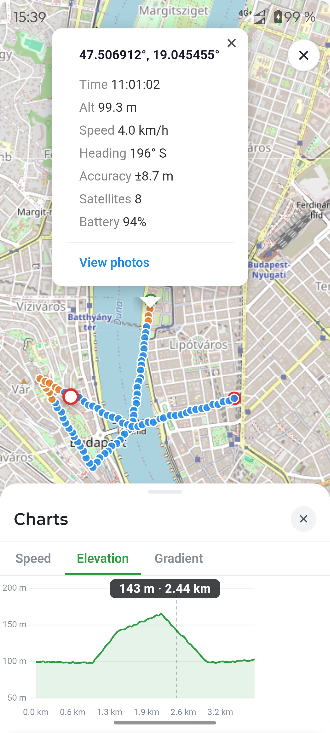
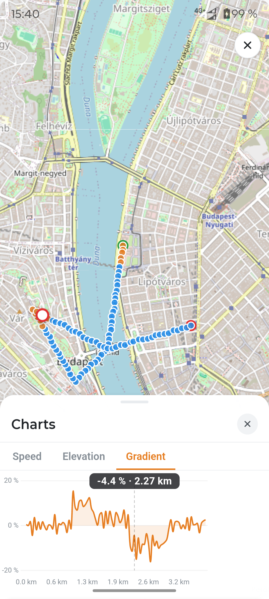
Every shot tied permanently to the exact coordinate, altitude and time it was taken.
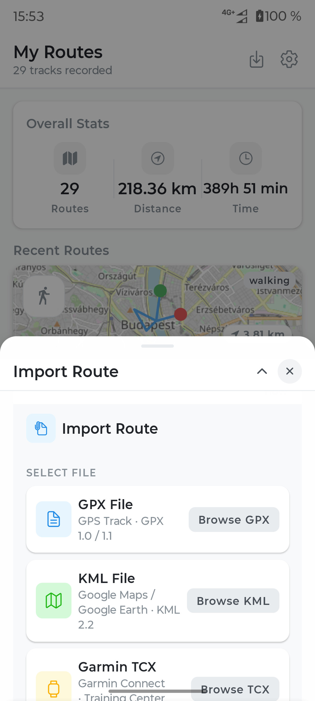
Export or import GPX, KML and Garmin TCX — no lock-in, ever.
Sharing, made simple
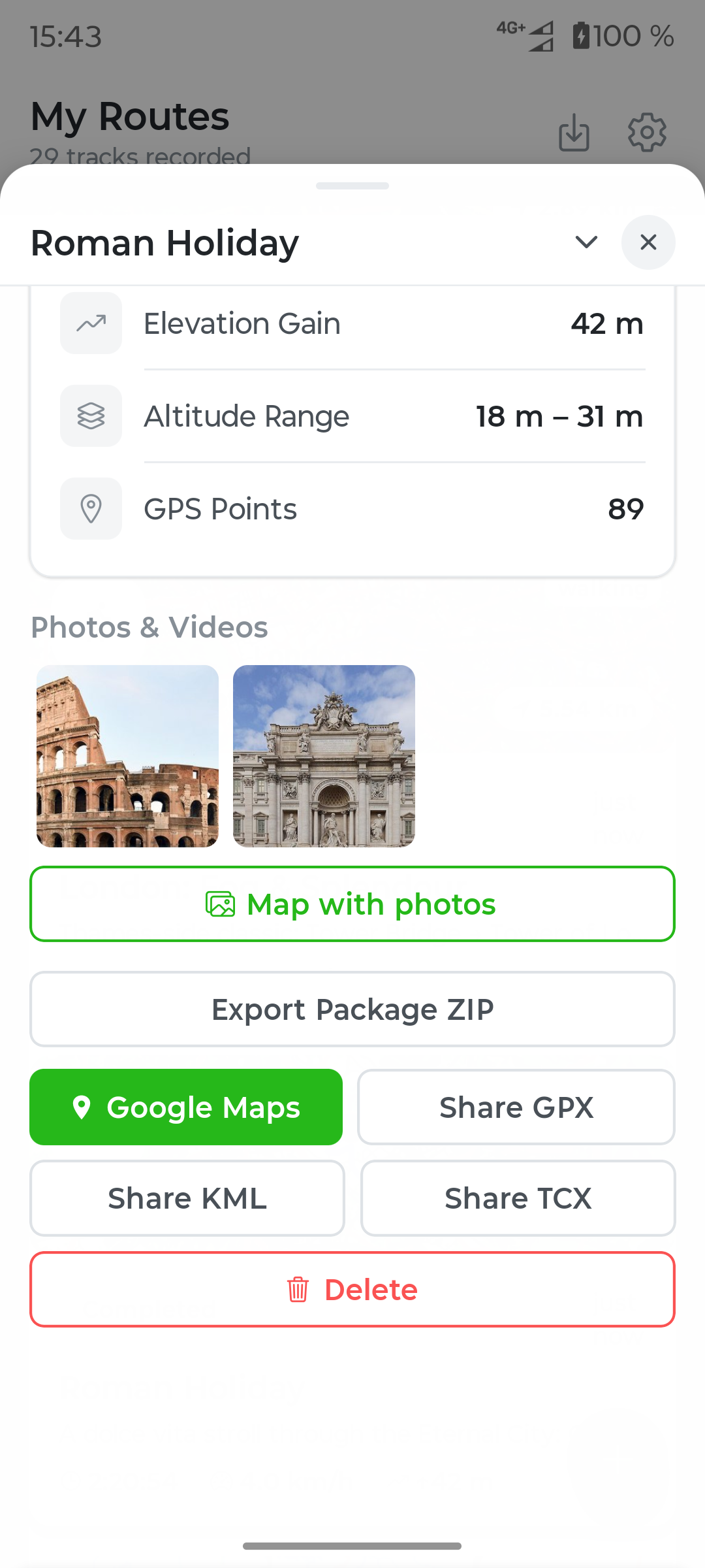
A route can become a shareable travel archive: a map, selected media, and moments from the road, all in one personal bundle.
Travel export

Built to know nothing about you
No account to create. No email to confirm. Everything stays on your device unless you choose to share it.
Nothing is uploaded, indexed or backed up anywhere you didn't choose.
No sign-up, no login wall. Every feature works from the first open.
No advertising networks. No identifier ever tied to you.
Sharing is deliberate — pick the file, pick the person, send it your way.
YOUR NEXT TRAVEL JOURNAL
Capture the route and preserve the feeling of every place.